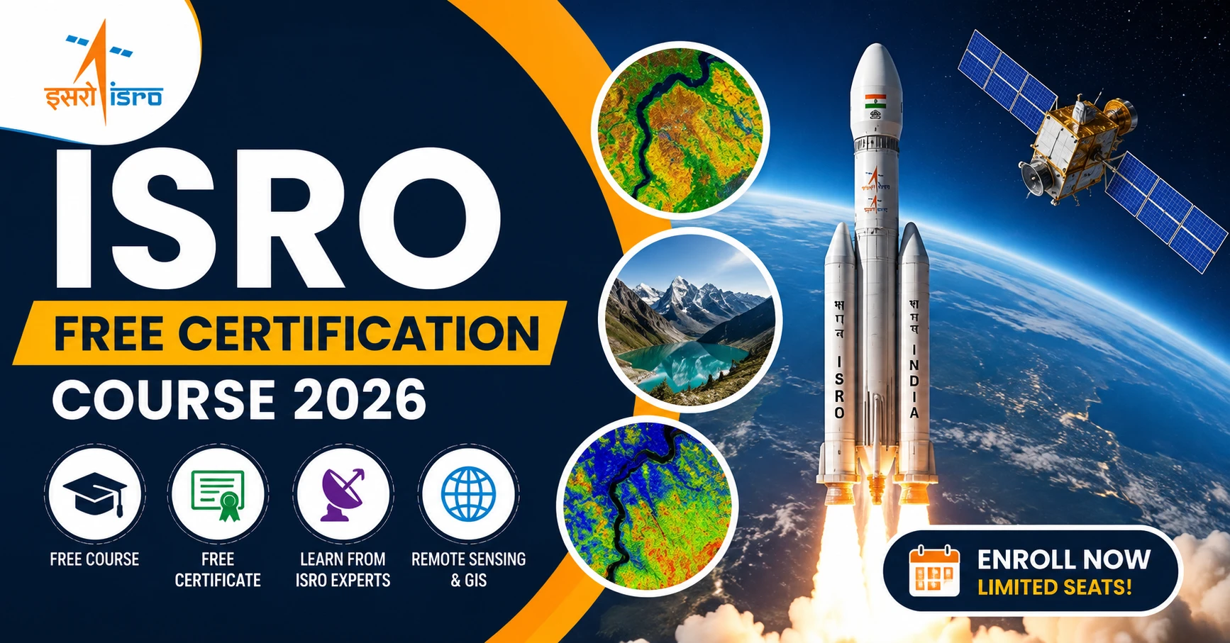
The Indian Space Research Organisation (ISRO), through its educational arm, the Indian Institute of Remote Sensing (IIRS), has announced a free online certification course for students, researchers, faculty members, and professionals. Titled “Advances in Remote Sensing Techniques for Geological Applications,” this program offers participants an opportunity to learn directly from ISRO experts and gain valuable knowledge in remote sensing, geospatial technologies, geological investigations, and planetary exploration.
The course is completely free of cost and includes a participation certificate for eligible candidates who meet the attendance requirements. With growing demand for geospatial and Earth observation technologies across industries, this certification can be a valuable addition to your academic and professional profile.
ISRO Free Certification Course 2026 Overview
| Particulars | Details |
|---|---|
| Organization | Indian Space Research Organisation (ISRO) |
| Conducting Institute | Indian Institute of Remote Sensing (IIRS) |
| Course Name | Advances in Remote Sensing Techniques for Geological Applications |
| Course Mode | Online |
| Course Duration | 15 June 2026 – 19 June 2026 |
| Registration Fee | Free |
| Certificate | Free Participation Certificate |
| Admission Process | First-Come, First-Served |
| Eligible Candidates | Students, Researchers, Faculty Members, Professionals |
About the ISRO Free Certification Course 2026
The ISRO Free Certification Course 2026 has been designed to provide participants with a strong foundation in remote sensing technologies and their applications in geological studies. The program focuses on the use of satellite-based observations, geospatial data, and modern Earth observation techniques to address real-world challenges related to geology, environmental monitoring, natural resources, and disaster management.
Participants will gain practical insights into advanced remote sensing systems, geological mapping techniques, mineral exploration methods, and planetary science applications. The course is conducted through the IIRS online learning platform, enabling participants from across India to attend sessions remotely.
Why You Should Join This ISRO Course
ISRO training programs are widely recognized for their quality and relevance. This course offers several benefits for students and professionals looking to build expertise in geospatial technologies.
Key Benefits
- Learn directly from ISRO and IIRS experts
- Understand real-world applications of remote sensing technologies
- Gain exposure to GIS and geospatial data analysis
- Explore geological mapping and mineral exploration techniques
- Receive a free certificate from IIRS-ISRO
- Strengthen your resume and academic profile
- Improve career prospects in geosciences and remote sensing industries
- Access learning materials and recorded sessions
Course Modules and Learning Topics
The curriculum has been carefully designed to cover both theoretical and practical aspects of remote sensing applications in geology.
1. Geoscience Applications
This module introduces participants to the use of Remote Sensing (RS) and Geographic Information Systems (GIS) in:
- Geological investigations
- Environmental monitoring
- Cryosphere studies
- Natural resource management
- Geo-engineering applications
2. Advanced Remote Sensing Sensors
Participants will learn about various remote sensing technologies, including:
- Optical Sensors
- Thermal Sensors
- Microwave Sensors
- Hyperspectral Sensors
The sessions will explain how these sensors collect and process Earth observation data for scientific and industrial applications.
3. Mineral Exploration and Geological Mapping
This section focuses on:
- Mineral prospecting techniques
- Geological mapping methods
- Lithological analysis
- Structural deformation studies
- Resource exploration strategies
4. Integrated Geophysical Approaches
Participants will gain insights into the integration of multiple technologies, including:
- GNSS (Global Navigation Satellite Systems)
- Geodesy
- Geophysical surveys
- Spatial data integration
These techniques play a crucial role in modern geological investigations.
5. Planetary Exploration
One of the most exciting aspects of the course is the introduction to planetary science.
Topics include:
- Planetary surface studies
- Lunar exploration
- Planetary remote sensing
- Data analysis techniques used in ISRO missions
- Scientific contributions of India’s space exploration programs
Eligibility Criteria
The course is open to a wide range of students and professionals.
Eligible Students
Applications are invited from students pursuing:
- Earth Sciences
- Geology
- Applied Geology
- Geophysics
- Geography
- Geo-exploration
- Geo-engineering
Final-year postgraduate students from the above disciplines are also eligible.
Engineering Students
Students from the following engineering branches can apply:
- Civil Engineering
- Mining Engineering
- Geoscience-related disciplines
Researchers and Professionals
The following candidates are also eligible:
- Research Scholars
- Faculty Members
- Academic Professionals
- Scientists
- Technical Staff
- Government Department Employees
Technical Requirements
The course is delivered entirely online through the IIRS e-learning platform.
Participants require:
- Computer, laptop, tablet, or smartphone
- Stable internet connection
- Web browser access
No specialized software or paid tools are required.
Learning Resources Provided
Participants will receive access to:
- Lecture presentations
- Recorded video sessions
- Practical demonstrations
- Open-source software tools
- Additional study materials
- Online learning resources
Certificate Requirements
Participants who successfully complete the course and fulfill attendance requirements will receive an official participation certificate.
Attendance Requirement
- Minimum 70% attendance is mandatory.
- Attendance will be monitored digitally during live sessions.
Certificate Download
After successful verification, participants can download their certificate directly from the IIRS Learning Management System (LMS) portal.
How to Apply for ISRO Free Certification Course 2026
Interested candidates can register online through the official IIRS registration portal.
Application Process
Step 1: Visit the official registration portal.
Step 2: Complete the online registration form.
Step 3: Enter your academic and personal details.
Step 4: Submit the application.
Step 5: Receive confirmation and course access details.
Official Registration Link
Important Note
Admissions are offered on a first-come, first-served basis. Candidates are encouraged to register as early as possible to secure their seat.
Career Opportunities After Completing the Course
Remote sensing and geospatial technologies are rapidly expanding fields with applications across multiple industries.
After completing this course, participants can explore opportunities in:
- GIS and Geospatial Technology
- Geological Survey Organizations
- Environmental Consulting
- Mining and Exploration Industries
- Disaster Management Agencies
- Research Institutions
- Space Technology Organizations
- Government Departments
The knowledge gained through this program can also support higher education, research projects, and competitive examinations related to Earth sciences and geospatial technologies.
Why This Certification Matters
As industries increasingly rely on satellite imagery, geospatial intelligence, and remote sensing data, professionals with knowledge of these technologies are in high demand. This course provides exposure to industry-relevant tools and methodologies used by experts in geology, environmental sciences, and space technology.
A certification from ISRO’s educational wing demonstrates your commitment to continuous learning and can strengthen both academic and professional credentials.
Conclusion
The ISRO Free Certification Course 2026 offers an excellent opportunity for students, researchers, faculty members, and professionals to learn advanced remote sensing techniques directly from experts associated with India’s premier space agency.
With no registration fee, a comprehensive curriculum, practical learning resources, and a free participation certificate, this program is one of the most valuable online learning opportunities currently available in the geospatial and Earth sciences domain.
Interested candidates should complete their registration as soon as possible, as admissions are granted on a first-come, first-served basis.
Frequently Asked Questions (FAQs)
Is the ISRO Free Certification Course 2026 completely free?
Yes. There is no registration fee or course fee for this training program.
Who can apply for this course?
Students, research scholars, faculty members, scientists, technical staff, and professionals from eligible disciplines can apply.
What is the duration of the course?
The course will be conducted from 15 June 2026 to 19 June 2026.
Is the course conducted online?
Yes. The entire training program will be delivered through the IIRS online learning platform.
Will participants receive a certificate?
Yes. Participants who meet the attendance requirements will receive a participation certificate.
What is the minimum attendance requirement?
A minimum attendance of 70% is required to qualify for the certificate.
Where can I register?
Candidates can register through the official IIRS portal: