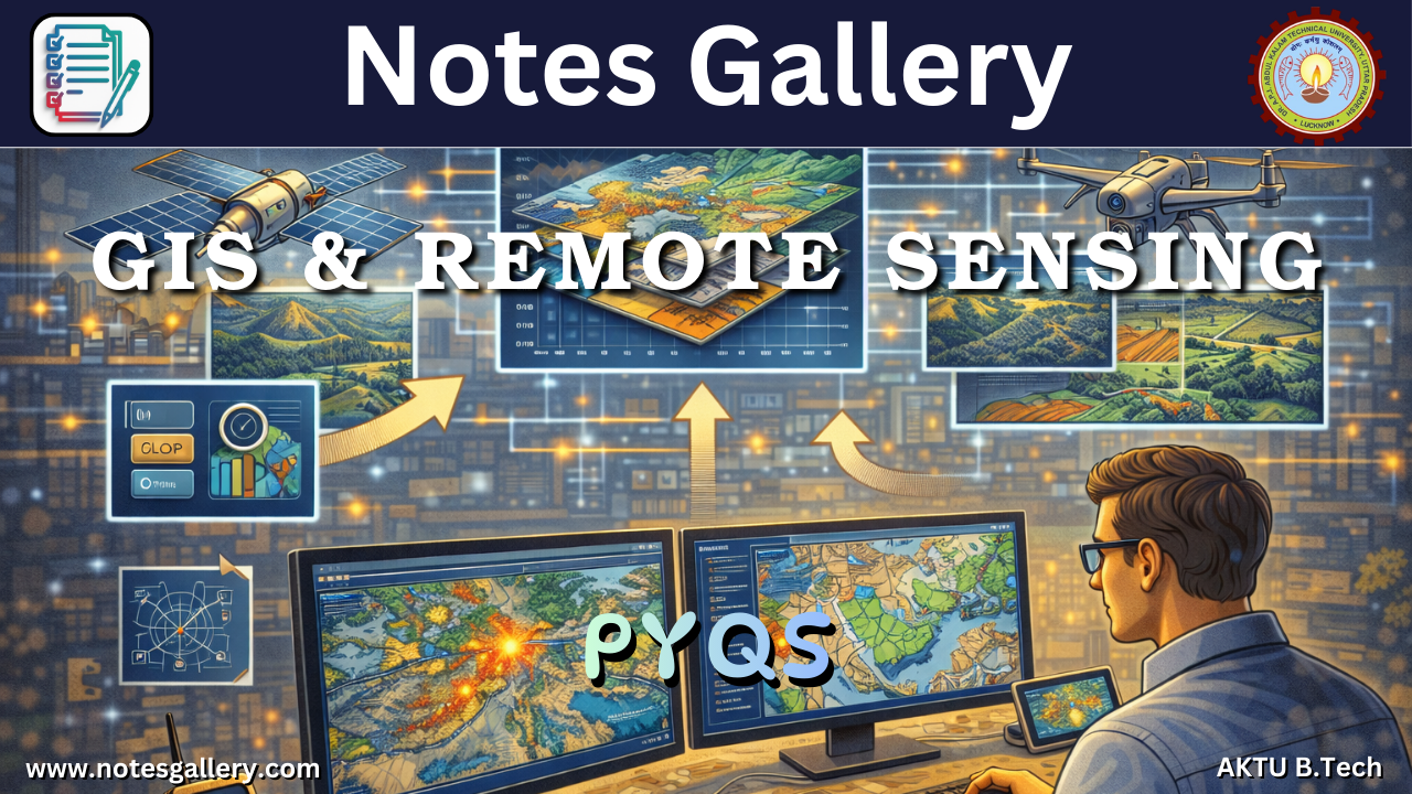
If you are searching for OE 3rd Year PYQs (GIS & REMOTE SENSING), then you are preparing in one of the most effective ways for AKTU semester examinations. GIS & Remote Sensing is an important Open Elective subject that focuses on geographic information systems, satellite imagery, and spatial data analysis used in environmental monitoring, urban planning, agriculture, and disaster management. Practicing OE 3rd Year PYQs (GIS & REMOTE SENSING) helps students understand the exam pattern followed by AKTU and identify the topics that frequently appear in university examinations.
Previous year question papers are extremely useful because they help students understand the types of questions asked by examiners and the level of conceptual clarity required to score good marks. By solving OE 3rd Year PYQs (GIS & REMOTE SENSING), students can easily identify commonly repeated topics such as GIS data models, satellite imaging systems, spatial analysis techniques, image interpretation, and applications of remote sensing.
Many students find it difficult to collect properly organized previous year question papers while preparing for exams. Platforms like www.notesgallery.com make this process easier by providing structured academic resources including PYQs, notes, quantum PDFs, and important questions for AKTU students. Using OE 3rd Year PYQs (GIS & REMOTE SENSING) along with these resources helps students prepare efficiently and improve their performance in university examinations.
Download OE 3rd Year PYQs (GIS & REMOTE SENSING)
| Year | Download Links |
|---|---|
| 2020-21 | NA |
| 2021-22 | DOWNLOAD |
| 2022-23 | DOWNLOAD |
| 2023-24 | DOWNLOAD |
| 2024-25 | DOWNLOAD |
| 2025-26 | coming soon… |
RELATED PYQs + Open Elective PYQs


Why OE 3rd Year PYQs (GIS & REMOTE SENSING) Are Important
GIS and Remote Sensing technologies are widely used in modern engineering, environmental studies, and geographic data analysis. Practicing OE 3rd Year PYQs (GIS & REMOTE SENSING) helps students understand how geospatial technologies are tested in AKTU examinations.
One major advantage of solving OE 3rd Year PYQs (GIS & REMOTE SENSING) is that students can easily identify frequently repeated questions related to satellite imaging systems, GIS data structures, spatial analysis methods, and remote sensing applications. These topics often appear in descriptive and theoretical questions.
Another benefit is improved conceptual clarity. Many questions in OE 3rd Year PYQs (GIS & REMOTE SENSING) require explanations of geographic data analysis methods and remote sensing technologies. Practicing previous year papers helps students structure their answers clearly and logically.
Students who regularly practice OE 3rd Year PYQs (GIS & REMOTE SENSING) also develop better exam preparation strategies and time management skills.
Syllabus Overview of GIS & REMOTE SENSING
Understanding the syllabus helps students focus on the most important topics during exam preparation.
1. Introduction to GIS
This unit explains the fundamentals of Geographic Information Systems including spatial data, geographic coordinates, and mapping systems. Questions related to these concepts frequently appear in OE 3rd Year PYQs (GIS & REMOTE SENSING).
2. Remote Sensing Principles
Students learn about satellite imaging systems, electromagnetic spectrum, and remote sensing platforms.
3. GIS Data Models
This unit focuses on raster and vector data models used in geographic information systems.
4. Spatial Data Analysis
Students study techniques used to analyze geographic data and perform spatial analysis.
5. Applications of GIS and Remote Sensing
GIS and remote sensing technologies are widely used in environmental monitoring, disaster management, urban planning, and agriculture.
Understanding these concepts helps students solve OE 3rd Year PYQs (GIS & REMOTE SENSING) more effectively.
Smart Strategy to Prepare Using OE 3rd Year PYQs (GIS & REMOTE SENSING)
To maximize the benefits of previous year question papers, students should follow a structured preparation strategy.
First, analyze at least five to seven years of OE 3rd Year PYQs (GIS & REMOTE SENSING) to identify frequently asked questions.
Second, attempt to solve the question papers without referring to textbooks or notes. This helps students evaluate their preparation level.
Third, review the answers and compare them with reliable study materials available on www.notesgallery.com to understand the correct explanation and answer format expected in AKTU exams.
Finally, students should practice solving complete question papers within the exam time duration. Practicing OE 3rd Year PYQs (GIS & REMOTE SENSING) under exam conditions improves confidence and exam performance.
Internal and External Exam Strategy
AKTU examinations generally follow a 30-70 marking scheme, where internal assessments carry 30 marks and the external exam carries 70 marks.
For internal assessments, students should focus on conceptual explanations and short theoretical questions.
For external exams, students should write structured answers explaining GIS systems, satellite imaging technologies, and remote sensing applications. Many questions in OE 3rd Year PYQs (GIS & REMOTE SENSING) require diagrams and examples.
Frequently Repeated Topics in GIS & REMOTE SENSING
Based on analysis of previous year papers, the following topics frequently appear in OE 3rd Year PYQs (GIS & REMOTE SENSING):
- GIS data models (Raster and Vector)
- Remote sensing principles
- Satellite imaging systems
- Spatial data analysis techniques
- Applications of GIS
- Image interpretation methods
Students should prioritize these topics while preparing for exams.
Why Choose www.notesgallery.com
At www.notesgallery.com, we aim to simplify exam preparation for AKTU students by providing:
- Organized previous year question papers
- Updated quantum PDFs
- Important questions and notes
- Structured study materials for multiple engineering branches
Our platform helps students access reliable academic resources quickly and efficiently.
Conclusion
Preparing for AKTU exams becomes much easier when students practice previous year question papers. Solving OE 3rd Year PYQs (GIS & REMOTE SENSING) helps students understand exam patterns, identify important topics, and improve their answer-writing skills.
By consistently practicing OE 3rd Year PYQs (GIS & REMOTE SENSING) and using reliable study resources available at www.notesgallery.com, students can strengthen their conceptual understanding and significantly improve their chances of scoring higher marks in university examinations.